 Accueil
>
Sans titre
> Topographie. Accès détaillé.
Accueil
>
Sans titre
> Topographie. Accès détaillé.
Topographie. Accès détaillé.

Cliquez sur l'image pour l'agrandir
-

- Crédits: Jean-Yves Bidaut. IGN Géoportail.
- Topographie. Accès détaillé.
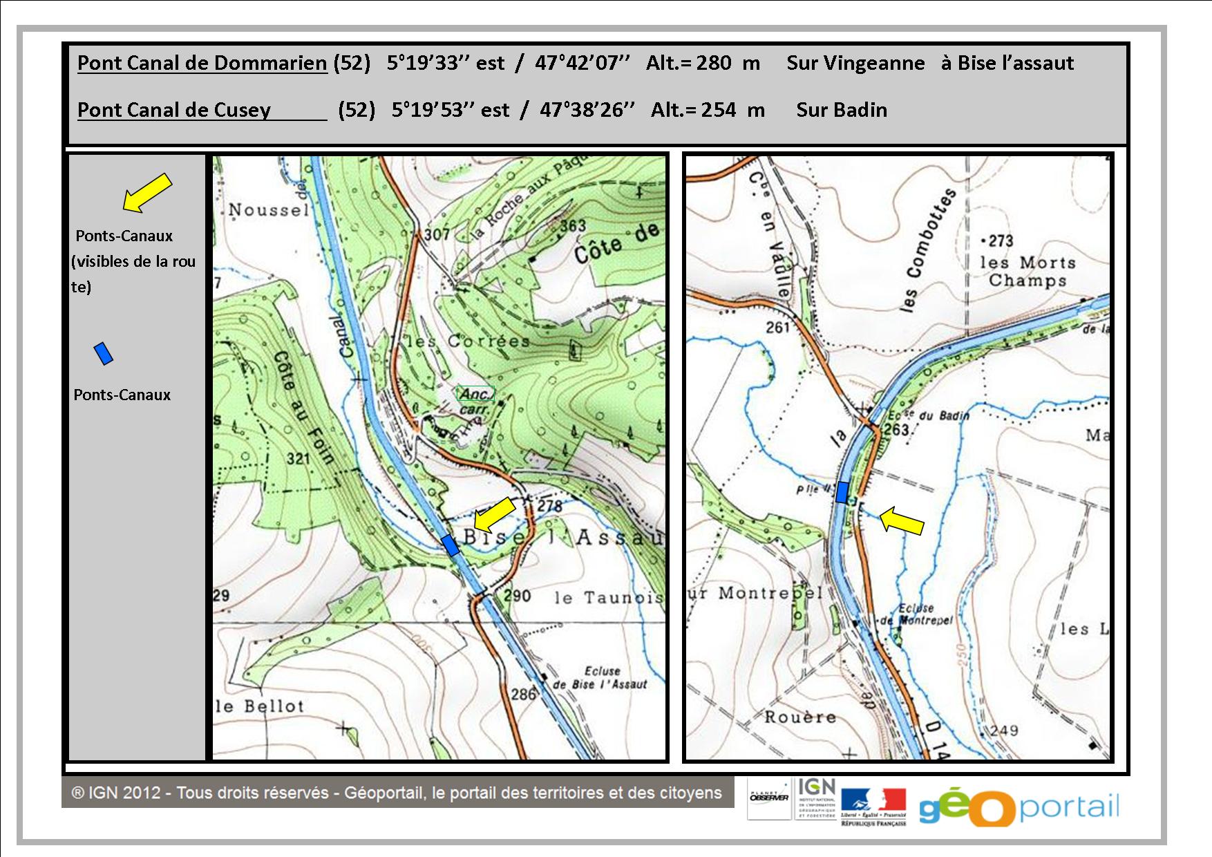
- Plan d’accès détaillé de 2 ponts-canaux
Détails du cliché
Pas de donnée
Thèmes
 RSS 2.0

 Made in Pays de Langres